
Barangays ZIP code 2801 Local time Friday 2:14 AM | Time zone PST (UTC+8) Area 47.45 km² | |
 | ||
Weather 23°C, Wind E at 8 km/h, 84% Humidity | ||
Dolores, officially the Municipality of Dolores (Ilocano: Ili ti Dolores, Filipino: Bayan ng Dolores), is a municipality in the province of Abra in the Cordillera Administrative Region (CAR) of the Philippines. The population was 11,315 at the 2015 census. In the 2016 electoral roll, it had 7,218 registered voters.
Contents
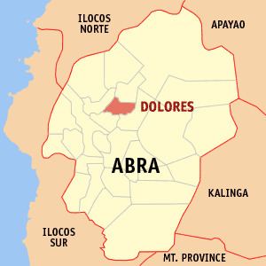
Map of Dolores, Abra, Philippines
History
The place was called Bucao, named after the first Tingguian (Itneg) chieftain who settled in the place long before Spanish colonization. It used to be part of the Municipality of Tayum. In 1882, upon the recommendation of the parish priest of Tayum, Fr. Pío Mercado, and the Teniente Bazar of Bucao, Don Ignacio Eduarte, Bucao was created as a separate pueblo. In 1885, Bucao was renamed Dolores, to honor its patron saint, Nuestra Señora de los Dolores (Our Lady Of Sorrows). The first gobernadorcillo of the town was Don Rosalio Eduarte.
Geography
Dolores is located at 17°39′N 120°43′E.
According to the Philippine Statistics Authority, the municipality has a land area of 47.45 square kilometres (18.32 sq mi) constituting 7000113990000099999♠1.14% of the 4,165.25-square-kilometre- (1,608.21 sq mi) total area of Abra.
Barangays
Dolores is politically subdivided into 15 barangays.
Demographics
In the 2015 census, Dolores had a population of 11,315. The population density was 240 inhabitants per square kilometre (620/sq mi).
In the 2016 electoral roll, it had 7,218 registered voters.