
Length 26 km Mouth Secchia | Source Tuscany Country Italy | |
 | ||
Main source Tuscan-Emilian Apennines, Mount Cusna
about 1,868 m (6,129 ft) River mouth Secchia, North of Polinago | ||
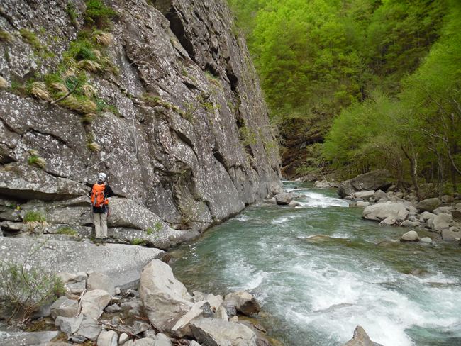
The Dolo is a mountain stream that rises on the slopes of Mount Cusna in the Reggio-Emilia province, of the Tuscany-Emilia Romagna Apennine Mountains. It is a tributary of the Secchia, and its length is about 21 to 26 kilometres (13 to 16 mi). The Dolo acts as a natural boundary between the provinces of Reggio Emilia and Modena.
Map of Torrente Dolo, Italy
About 5 kilometres (3 mi) before entering the Secchia river, the Dragone mountain stream flows into the Dolo.
At the height of Fontanaluccia there is a dam (44°16′39.72″N 10°30′47.95″E) that provides water for a hydroelectric power plant (44°21′42.48″N 10°34′53.35″E) located 14 kilometres (9 mi) downstream in Farneta.
References
Dolo (river) Wikipedia(Text) CC BY-SA