
District Český Krumlov Elevation 424 m | Postal code 382 01 to 382 02 Area 20.43 km² | |
 | ||
Website web.archive.org/web/20031225043811/http://www.dtrebonin.ois.cz:80/ | ||
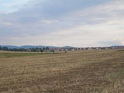
Dolní Třebonín is a village and municipality (obec) in Český Krumlov District in the South Bohemian Region of the Czech Republic.
Map of Doln%C3%AD T%C5%99ebon%C3%ADn, Czechia
The municipality covers an area of 20.43 square kilometres (7.89 sq mi), and has a population of 1,197 (as of 28 August 2006).
Dolní Třebonín lies approximately 9 kilometres (6 mi) north-east of Český Krumlov, 14 km (9 mi) south of České Budějovice, and 137 km (85 mi) south of Prague.
References
Dolní Třebonín Wikipedia(Text) CC BY-SA