
Elevation 283 m | Postal code 594 55 Area 8.13 km² | |
 | ||
Website | ||
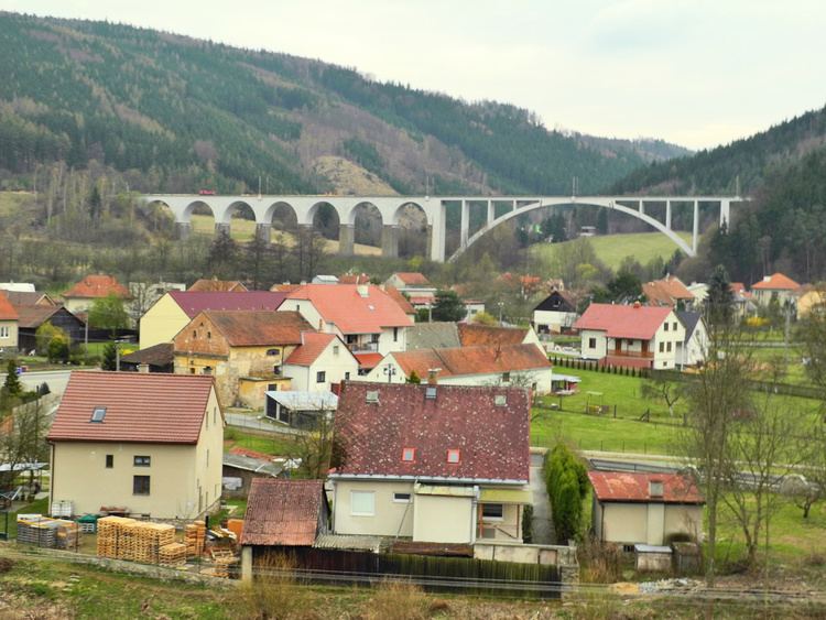
Dolní Loučky is a village and municipality (obec) in Brno-Country District in the South Moravian Region of the Czech Republic.
Map of 594 55 Doln%C3%AD Lou%C4%8Dky, Czechia
The municipality covers an area of 8.13 square kilometres (3.14 sq mi), and has a population of 1,142.
Dolní Loučky lies approximately 26 kilometres (16 mi) north-west of Brno and 162 km (101 mi) south-east of Prague.
References
Dolní Loučky Wikipedia(Text) CC BY-SA