
Length 10 km (6 mi) Highest elevation 63 m (207 ft) | Area 14.5 km (5.6 sq mi) Width 2 km (1.2 mi) Highest point Hjertåsen | |
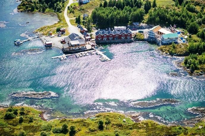 | ||
Dolmøya is an island in the municipality of Hitra in Sør-Trøndelag county, Norway. The island is located in the Frøyfjorden, just north of the village of Melandsjøen on the island of Hitra. The island is flat, swampy, and has very few trees. The 14.5-square-kilometre (5.6 sq mi) island is also the location of the southern entrance to the Frøya Tunnel. The medieval Dolm church is located on the southeastern shore of the island.
Map of Dolm%C3%B8ya, 7252 Dolm%C3%B8y, Norway
References
Dolmøya Wikipedia(Text) CC BY-SA