Harman Patil (Editor)

Dolakha Town, Nepal

Updated on
Edit
Like
Comment
Share on FacebookTweet on TwitterShare on LinkedInShare on Reddit
Dolakha Town, Nepal

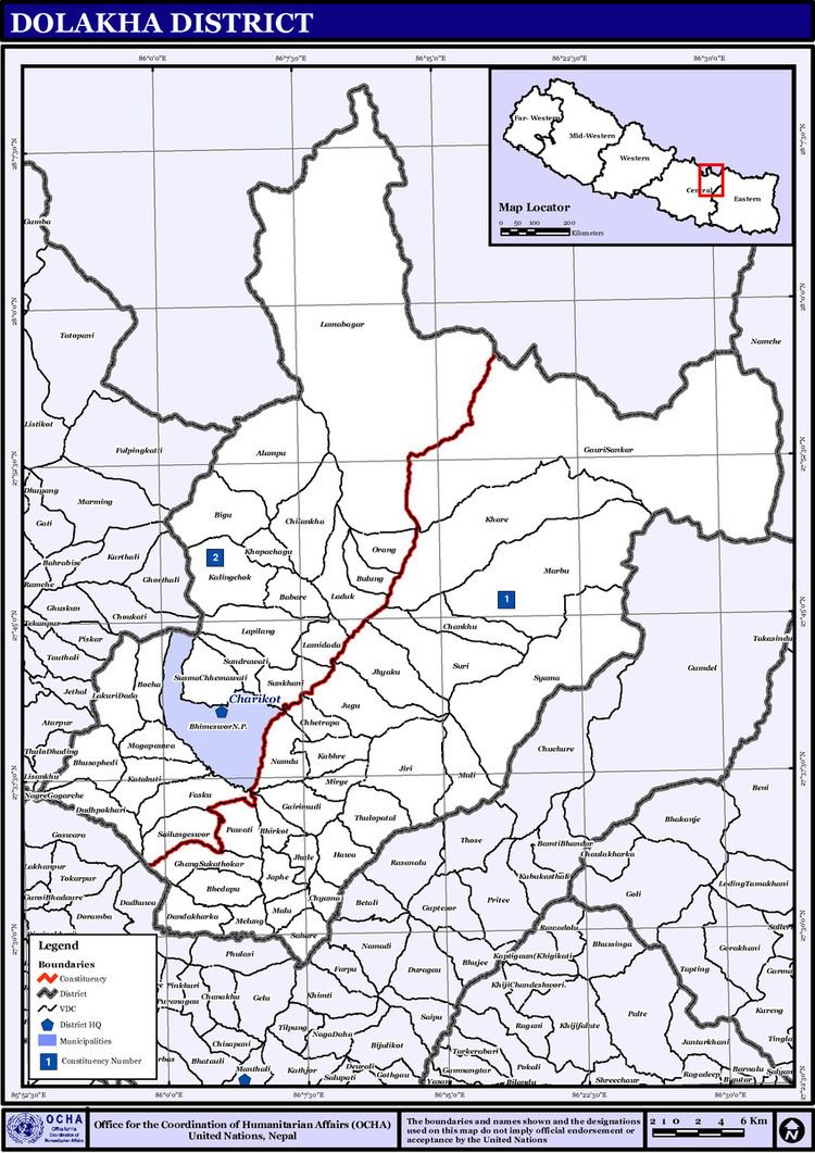
Dolakha is a mountainous district of Janakpur zone, which lies in the central development region of Nepal.

Contents

The total land area covered is about 2,191 km2 and its borders contiguous with Solukhumbu district and Ramechhap District in the east, Ramachhap and Sindhupalchok District in the south, Sindhupalchock in the west and with the Tibetan Autonomous Region of People's Republic of China in the north. Sitali, the lowest part of the district is 723 metres (2,372 ft) above sea level whereas Mt. Gaurishankar, the highest part of the district is 7,134 metres (23,406 ft) above sea level.

Etymology

In its origin the city of Dolakha was called "Abhayapur" which means "Abhay" - without fear; and "pur" - cities. That is why Dolakha is also referred to as the "city without fear" because of the power of the god Bhim Sen.

Village Development Committees (VDCs)

  • Alampu
  • Babare
  • Bhedapu
  • Bhimeshwar Municipality
  • Bhirkot
  • Bhusafeda
  • Bigu
  • Bocha
  • Bulung
  • Chankhu
  • Charikot
  • Chhetrapa
  • Chilankha
  • Chyama
  • Dadhpokhari
  • Dandakharka
  • Fasku
  • Gairimudi
  • Gauri Sankar
  • Ghyang Sukathokar
  • Hawa
  • Japhe
  • Jhule
  • Jhyaku
  • Jiri
  • Jugu
  • Kabhre
  • Kabum
  • Katakuti
  • Khare
  • Khupachagu
  • Laduk
  • Lakuri Danda
  • Lamabagar
  • Lamidada
  • Lapilang
  • Magapauwa
  • Makaibari
  • Mali
  • Malu
  • Marbum
  • Mati
  • Melung
  • Dandakharka
  • Kaulay
  • Mirge
  • Namdu
  • Orang
  • Pawati
  • Sahare
  • Sailungeswor
  • Sunakhani
  • Sundrawati
  • Sureti
  • Susma Chhemawati
  • Syama
  • Thulopatal
  • References

    Dolakha Town, Nepal Wikipedia