
Airport type Public Elevation AMSL 3,500 ft / 1,067 m Elevation 1,067 m | 10/28 3,000 | |
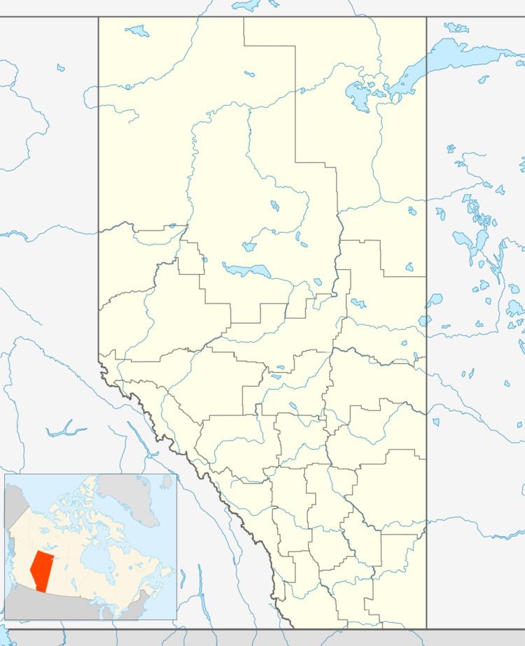 | ||
Address Clear Hills No. 21, AB, Canada | ||
Doig Airport, (TC LID: CFX3), is a remote forest fire suppression airfield located in northwestern Alberta, Canada. The name Doig is just the name of the airfield location, named for the Doig River, there is no community with that name.
The airfield is located on the Halveston Ridge of the Clear Hills, north of the Doig River.
References
Doig Airport Wikipedia(Text) CC BY-SA