
Country New Zealand Local time Thursday 9:22 PM | Region West Coast Population 672 (2006) | |
 | ||
Weather 15°C, Wind E at 10 km/h, 69% Humidity | ||
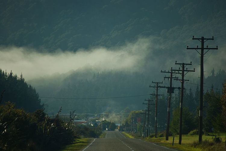
Dobson is a small town on the banks of the Grey River in the South Island of New Zealand. It is 10 kilometres (6 mi) east from the river's mouth at Greymouth. The settlement of Taylorville is across the river from Dobson, but no bridge directly connects the two. State Highway 7 passes through Dobson.
Contents
Map of Dobson 7805, New Zealand
The population of Dobson and its surrounds, including Taylorville, was 672 in the 2006 Census, a decrease of 72 from 2001.
History
The town is named for the surveyor George Dobson, who was murdered at this site in 1866. He was killed in a bungled robbery by a gang who had mistaken him for a gold buyer carrying gold from the nearby Arnold goldfield. A monument now stands where George Dobson was murdered.
Dobson was the site of one of the West Coast's many coal mines. The Dobson mine was opened in 1919, and closed in 1968. It was the site of one of the country's worst mining disasters. Nine men were killed in an explosion at the mine in 1926.
A hydroelectric dam was proposed for the area by TrustPower in 1999 but it failed to secure access to public land that needed to be flooded for the scheme. In 2003 Nick Smith, who was an Opposition MP at the time, attempted to remove the reserve status from the land needed for the dam reservoir in order to allow the scheme to go ahead.
Education
Paparoa Range School is a coeducational full primary (years 1–8) school with a decile rating of 3 and a roll of 121. The school was established in 2005 when Blackball, Kaiata, Stillwater and Brunnerton Primary Schools were merged onto the Brunnerton Primary School site.