
Local time Thursday 8:40 AM | ||
 | ||
Weather 3°C, Wind W at 23 km/h, 90% Humidity Voivodeship | ||
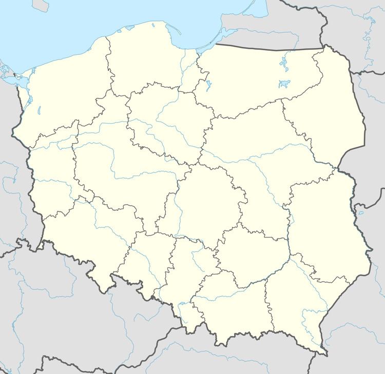
Dobrocinek [dɔbrɔˈt͡ɕinɛk] (German: Klein Güttmannsdorf) is a village in the administrative district of Gmina Dzierżoniów, within Dzierżoniów County, Lower Silesian Voivodeship, in south-western Poland. It lies approximately 12 km (7 mi) south-east of Dzierżoniów, and 63 km (39 mi) south-west of the regional capital Wrocław.
Map of Dobrocinek, Poland
Prior to 1945 it was in Germany. After World War II the region was placed under Polish administration by the Potsdam Agreement under territorial changes demanded by the Soviet Union. Most Germans fled or were expelled and replaced with Poles expelled from the Polish areas annexed by the Soviet Union.
References
Dobrocinek, Lower Silesian Voivodeship Wikipedia(Text) CC BY-SA