
Elevation 216.2 m (709.3 ft) Local time Thursday 8:13 AM | Sołectwo Dobra Time zone CET (UTC+1) | |
 | ||
Weather 3°C, Wind E at 5 km/h, 90% Humidity Voivodeship Świętokrzyskie Voivodeship | ||
Dobra [ˈdɔbra] is a village in the administrative district of Gmina Staszów, within Staszów County, Świętokrzyskie Voivodeship, in south-central Poland. It lies approximately 5 kilometres (3 mi) north-east of Staszów and 53 km (33 mi) south-east of the regional capital Kielce.
Contents
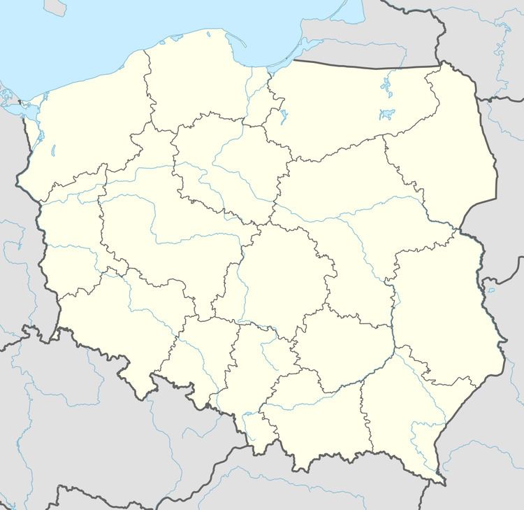
Map of Dobra, Poland
The village has a population of 270.
Demography
According to the 2002 Poland census, there were 241 people residing in Dobra village, of whom 50.6% were male and 49.4% were female. In the village, the population was spread out with 23.7% under the age of 18, 30.3% from 18 to 44, 19.5% from 45 to 64, and 26.6% who were 65 years of age or older.
References
Dobra, Świętokrzyskie Voivodeship Wikipedia(Text) CC BY-SA