 | ||
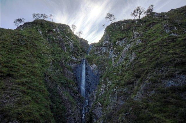
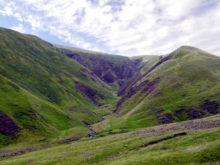
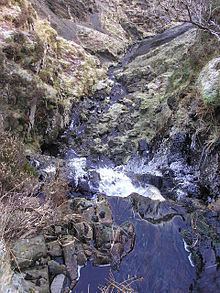
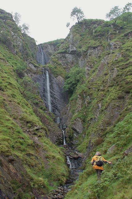
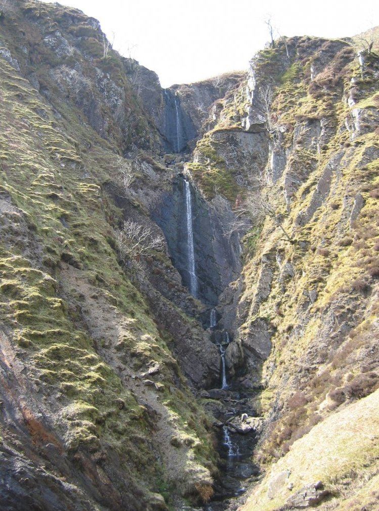
Dob's Linn, near Moffat, Scotland, is the location of the Global Boundary Stratotype Section and Point (GSSP) which marks the boundary between the Ordovician and Silurian periods, and marks the base of the Llandovery epoch, on the geologic time scale. The area was first studied by Charles Lapworth in the late 19th century, whose work established graptolites as a method of understanding stratigraphic sequences. Dob's Linn was ratified as the GSSP by the International Union of Geological Sciences in 1984.
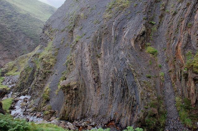
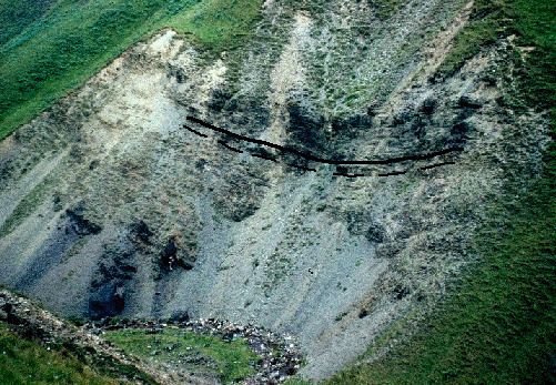
The boundary is defined as the first appearance of graptolites Parakidograptus acuminatus and Akidograptus ascensu 1.6 m above the base of the Birkhill Shale Formation. The shale section also contains chitinozoa and conodonts, but neither are well preserved. Dob's Linn has been criticized for the difficulty in relating its graptolite biostratigraphic sequence with shallow water sequences elsewhere, although the stratotype also appears to correspond with a carbon-13 isotope excursion in the latest Ordovician which can be identified worldwide.