
Country United States Time zone Eastern (EST) (UTC-5) GNIS feature ID 0978905 Local time Wednesday 7:52 PM | FIPS code 36-20676 Elevation 434 m Population 4,197 (2000) | |
 | ||
Weather 9°C, Wind W at 23 km/h, 37% Humidity Area 94.79 km² (93.5 km² Land / 129 ha Water) Points of interest Watkins Glen State Park, Pavilion‑Lakeside Park, Seneca Grand Prix Family Fu, Aunt Sarahs Falls, Seneca Lake Pier | ||
Dix is a town in Schuyler County, New York, United States. The population was 4,197 at the 2000 census.
Contents
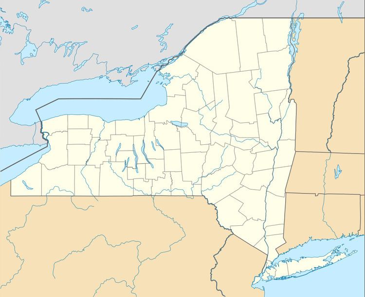
Map of Dix, NY, USA
The Town of Dix is located on the southern border of the county and is north of Elmira, New York.
History
Dix was formed on April 17, 1835 from the Town of Catlin (Chemung County) before the formation of Schuyler County. It was named for the Hon. John A. Dix. The Chemung Canal was completed in 1833 and connected the south end of Seneca Lake to the Chemung River. The path of the canal was the Catharine Creek Valley, running along the eastern part of Dix. The Cayuga-Seneca Canal at the north end of the lake connected the system to the Erie Canal.
In 1842, what is now Watkins Glen village was incorporated and set off from the town as "Jefferson."
Geography
According to the United States Census Bureau, the town has a total area of 36.6 square miles (95 km2), of which, 36.2 square miles (94 km2) of it is land and 0.5 square miles (1.3 km2) of it (1.28%) is water.
Seneca Lake (one of the Finger Lakes) is at the north border and the southern town line border is the border of Chemung County.
New York State Route 14 joins New York State Route 79 and New York State Route 414 by Watkins Glen. NY-14 is one of the principal streets in Watkins Glen village. New York State Route 329 and New York State Route 419 lead into Watkins Glen village from the west.
Demographics
As of the census of 2000, there were 4,197 people, 1,643 households, and 1,071 families residing in the town. The population density was 116.1 people per square mile (44.8/km²). There were 1,797 housing units at an average density of 49.7 per square mile (19.2/km²). The racial makeup of the town was 97.31% White, 0.52% African American, 0.55% Native American, 0.57% Asian, 0.02% Pacific Islander, 0.29% from other races, and 0.74% from two or more races. Hispanic or Latino of any race were 1.10% of the population.
There were 1,643 households out of which 32.4% had children under the age of 18 living with them, 48.8% were married couples living together, 11.0% had a female householder with no husband present, and 34.8% were non-families. 29.0% of all households were made up of individuals and 12.9% had someone living alone who was 65 years of age or older. The average household size was 2.45 and the average family size was 2.99.
In the town, the population was spread out with 25.1% under the age of 18, 7.3% from 18 to 24, 26.3% from 25 to 44, 24.2% from 45 to 64, and 17.2% who were 65 years of age or older. The median age was 39 years. For every 100 females there were 90.9 males. For every 100 females age 18 and over, there were 87.9 males.
The median income for a household in the town was $33,081, and the median income for a family was $40,669. Males had a median income of $31,633 versus $21,051 for females. The per capita income for the town was $16,682. About 8.9% of families and 12.7% of the population were below the poverty line, including 15.3% of those under age 18 and 7.2% of those age 65 or over.