
Population 14,534 (2011) | Area 33,205 km² | |
 | ||
Points of interest Canadian Rockies, O'Brien Provincial Park, Sulphur Gates Provincial, Pierre Grey's Lakes Pr, Young's Point Provincial | ||
Division No. 18 is a census division in Alberta, Canada. It is located in the southeast corner of northern Alberta and its largest urban community is the Town of Grande Cache. The boundaries of the division are coextensive with the outer boundaries of the Municipal District of Greenview No. 16.
Contents
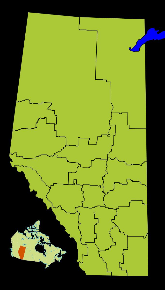
Map of Division No. 18, AB, Canada
Census subdivisions
The following census subdivisions (municipalities or municipal equivalents) are located within Alberta's Division No. 18.
Demographics
In the 2011 Census, Division No. 18 had a population of 14,534 living in 5,376 of its 6,066 total dwellings, a 1.5% change from its 2006 population of 14,322. With a land area of 33,205 km2 (12,821 sq mi), it had a population density of 0.4 people per square kilometre in 2011.
In 2006, Division No. 18 had a population of 14,322 living in 5,553 dwellings, a 0.2% decrease from 2001. The census division has a land area of 33,205.21 km2 (12,820.60 sq mi) and a population density of 0.4 inhabitants per square kilometre.