Trisha Shetty (Editor)

Division No. 14, Saskatchewan

Updated on
Edit
Like
Comment
Share on FacebookTweet on TwitterShare on LinkedInShare on Reddit
Province
  
Saskatchewan

Division No. 14, Saskatchewan

Colleges and Universities
  
Cumberland College, Nipawin Bible College

Clubs and Teams
  
Melfort Mustangs, Nipawin Hawks

Points of interest
  
Wapiti Valley Ski Resort, Hudson Bay Museum, EB Campbell Hydroele

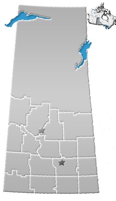
Division No. 14, Saskatchewan, Canada, is one of the eighteen census divisions within the province, as defined by Statistics Canada. It is located on the Northern portion of Southeast Saskatchewan, bordering Manitoba. The most populous community in this division is the city of Melfort. Other important communities are the towns of Nipawin and Tisdale.

Contents

Map of Division No. 14, SK, Canada

According to the 2006 census, 36,515 people lived in this division. The land area is 33,817.69 kmĀ² (13,057.08 sq mi).

City

  • Melfort
  • Towns

  • Arborfield
  • Carrot River
  • Choiceland
  • Hudson Bay
  • Kelvington
  • Naicam
  • Nipawin
  • Porcupine Plain
  • Rose Valley
  • Star City
  • Tisdale
  • Villages

  • Archerwill
  • Aylsham
  • Bjorkdale
  • Codette
  • Fosston
  • Love
  • Mistatim
  • Pleasantdale
  • Ridgedale
  • Smeaton
  • Spalding
  • Valparaiso
  • Weekes
  • White Fox
  • Zenon Park
  • Resort Village

  • Tobin Lake
  • Rural municipalities

  • RM No. 366 Kelvington
  • RM No. 367 Ponass Lake
  • RM No. 368 Spalding
  • RM No. 394 Hudson Bay
  • RM No. 395 Porcupine
  • RM No. 397 Barrier Valley
  • RM No. 398 Pleasantdale
  • RM No. 426 Bjorkdale
  • RM No. 427 Tisdale
  • RM No. 428 Star City
  • RM No. 456 Arborfield
  • RM No. 457 Connaught
  • RM No. 458 Willow Creek
  • RM No. 486 Moose Range
  • RM No. 487 Nipawin
  • RM No. 488 Torch River
  • Native reserves

  • Carrot River 29A
  • Kinistin Saulteaux Nation
  • Red Earth 29
  • Shoal Lake First Nation
  • Yellow Quill First Nation
  • Tobin Lake
  • References

    Division No. 14, Saskatchewan Wikipedia