
Category Federal Unit Government District government | Number 3 | |
 | ||
Areas 19.61 square miles (50.8 km) (Saint John) – 82.88 square miles (214.7 km) (Saint Croix) | ||
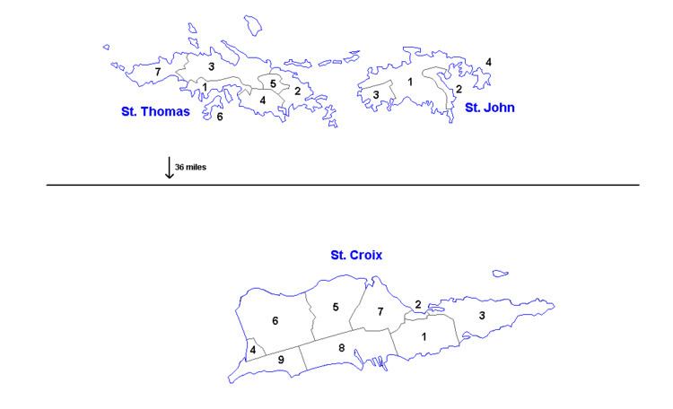
The United States Virgin Islands (pop. 106,405) are administratively divided into 3 districts, which are subdivided into 20 subdistricts. These are further divided into quarters and estates.
The districts are:
- Saint Croix
- Saint Thomas
- Saint John
The subdistricts of Saint Croix (pop. 50,601) are:
- Anna's Hope Village (pop. 4,041)
- Christiansted (pop. 2,626)
- Christiansted town (pop. 2,433)
- East End (pop. 2,453 )
- Frederiksted (pop. 3,091 )
- Frederiksted town (pop. 859 )
- Northcentral (pop. 4,977)
- Northwest (pop. 4,863)
- Sion Farm (pop. 13,003)
- Southcentral (pop. 8,049)
- Southwest (pop. 7,498)
The sub-districts of Saint Thomas (pop. 51,634) are:
- Charlotte Amalie (pop. 18,481)
- Charlotte Amalie town (pop. 10,354)
- East End (pop. 8,403)
- Northside (pop. 10,049)
- Southside (pop. 5,411)
- Tutu (pop. 6,867)
- Water Island (pop. 182)
- West End (pop. 2,241)
The sub-districts of Saint John (pop. 4,170) are:
- Central (pop. 779)
- Coral Bay (pop. 634)
- Cruz Bay (pop. 2,706)
- East End (pop. 51)
References
Districts and sub-districts of the United States Virgin Islands Wikipedia(Text) CC BY-SA