
Country Germany City Düsseldorf Local time Wednesday 6:27 PM | State North Rhine-Westphalia Area 12.8 km² | |
 | ||
Weather 7°C, Wind S at 13 km/h, 97% Humidity Points of interest EKO‑Haus der Japanisc, Rheinwiesen, Julia Stoschek Collectio, Freizeitpark Heerdt, Strelow Hans Galerie | ||
Rheinwiesen park
Contents
- Map of Stadtbezirk 4 DC3BCsseldorf Germany
- Subdivisions
- Economy
- Arts Culture and Entertainment
- Landmarks
- Parks and open spaces
- Transportation
- Rhine bridges
- Education
- References
Map of Stadtbezirk 4, D%C3%BCsseldorf, Germany
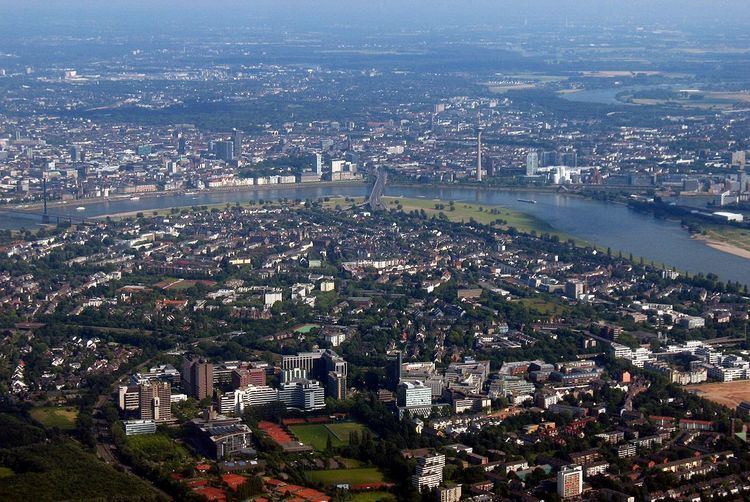
District 4 (German: Stadtbezirk 4) is a city district of Düsseldorf, the state capital of North Rhine-Westphalia, Germany. It covers an area of 12.80 square kilometres and has about 40,000 inhabitants.
District 4 is the city's only district on the west bank of the Rhine and its quarters are popular residential areas. Across the river, it shares borders with Düsseldorf districts 5, 1 and 3. West and South-west, the district is bordered by Rhein-Kreis Neuss and the city of Neuss.
Subdivisions
District 4 is made up of four Stadtteile (city parts):
Economy
The district is home to the headquarters of Vodafone Germany, bakery chain Kamps, world-leading tea bag producer Teekanne as well as the Rheinische Post publishing house.
Arts, Culture and Entertainment
Landmarks
Parks and open spaces
Transportation
The district is served by numerous railway stations and highway. Stations include a dense net of both Düsseldorf Stadtbahn light rail- and Rheinbahn tram-stations. The district can also be reached via Bundesautobahn 57 and Bundesstraße 7.
Rhine bridges
Education
The Japanische Internationale Schule in Düsseldorf (JISD) first opened in a church building in Oberkassel on April 21, 1971, before moving to its permanent home in 1973. From 1983 to 2001 junior high school students of the JISD attended classes at the former Lanker School in Oberkassel.