
Population 905 Civil parish Dishforth Sovereign state United Kingdom | OS grid reference SE382732 Local time Wednesday 12:55 PM | |
 | ||
Weather 12°C, Wind W at 21 km/h, 62% Humidity | ||
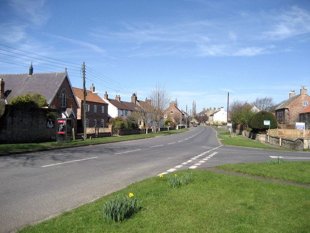
Dishforth /ˈdɪʃfəθ/ is a village and civil parish in the Harrogate district of North Yorkshire, England. Dishforth translates from Old English as dic-ford; a ford by a dike or ditch. The population of the parish taken at the 2011 census was 905.
Map of Dishforth, UK
It is just north of Dishforth Airfield, which up until April 2016 was an Army Air Corps helicopter station. The village is close to the A1(M) and the A168. The original route of the Great North Road runs through the village but RAF Dishforth was built over the old road which used to be the A1 and later the A167. The closest town is Boroughbridge 3 miles (4.8 km) to the south.
The village has two pubs adjacent to one another; the Black Swan and the Crown Inn. The village has a small Methodist church, a village hall (which used to be the village church) and a primary school.