
Airport type Public Website dinard.aeroport.fr Code DNR Phone +33 2 99 46 18 46 | Elevation AMSL 219 ft / 67 m Elevation 67 m | |
 | ||
Similar Office de tourisme de Dinard, Condor Ferries, Office de Tourisme de Saint, Keolis St Malo, Mairie de Dinard | ||
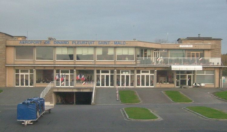
Dinard–Pleurtuit–Saint-Malo Airport or Aéroport de Dinard – Pleurtuit – Saint-Malo (IATA: DNR, ICAO: LFRD) is an airport serving the city of Saint-Malo, France. It is located 5 km (3.1 mi) south-southwest of Dinard in Pleurtuit, a commune of the département of Ille-et-Vilaine.
Contents
Statistics
Transported passengers evolution :
2011 → 134 197
2010 → 122 254
2009 → 136 942
2008 → 201 174
2007 → 178 605
2006 → 163 965
2005 → 179 971
2004 → 144 017
Côte d'Emeraude Flying Club
The flying club is located on the northeast of the 12/30 runway. It currently has four planes: a Robin DR400-180cv NM, a DR400-160cv HK, a DR221-100cv ZO and a Tecnam P2002JF CE. It is possible to get a PPL licence and an EASA LAPL (A) licence.
Access
The airport is located from a short distance from the major touristic cities (by car) :
15 minutes from Dinard city center.20 minutes from Dinan.25 minutes from Saint-Malo.55 minutes from Rennes via the N137 dual carriageway.Taxis and car rental are available from inside of the terminal.