
Country Philippines Established 1830 Time zone PST (UTC+8) Province Dinagat Islands | Region Caraga (Region XIII) Barangays Area 139.9 km² | |
 | ||
District Lone district of Dinagat Islands | ||
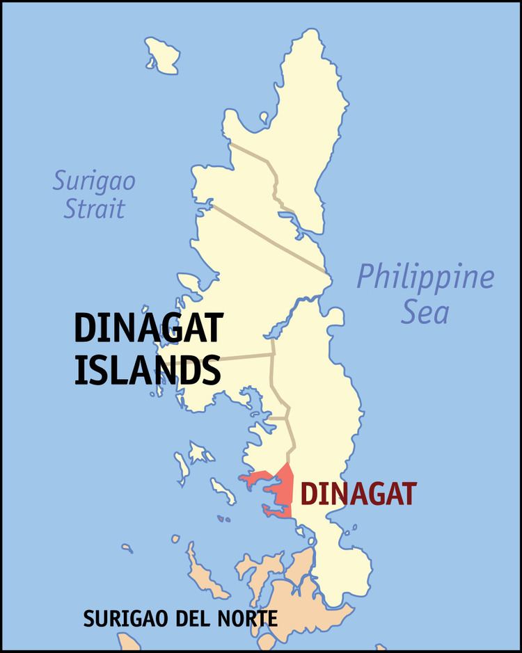
Dinagat is a municipality on Dinagat Island in the province of Dinagat Islands, Philippines. According to the 2015 census, it has a population of 10,632 people.
Contents
Map of Dinagat, Dinagat Islands, Philippines
History
Barangays San Jose, Matingbe, Jacques, Aurelio, Mahayahay, San Juan, Don Ruben Ecleo, Justiniana Edera, Sta. Cruz, Cuarenta, Wilson and Luna was separated from the original territory of Dinagat to form the new municipality of San Jose on November 15, 1989 under Republic Act No. 6769.
The town became a part of the province of Dinagat Islands in December 2006, when the province was created from Surigao del Norte by Republic Act No. 9355. However, in February 2010, the Supreme Court ruled that the law was unconstitutional, as the necessary requirements for provincial land area and population were not met. The town reverted to Surigao del Norte. On October 24, 2012, however, the Supreme Court reversed its ruling from the previous year, and upheld the constitutionality of RA 9355 and the creation of Dinagat Islands as a province.
Barangays
Dinagat is politically subdivided into 12 barangays.