
Country Philippines Founded 1959 Time zone PST (UTC+8) Local time Wednesday 2:05 AM | District Lone District Barangays Area 306.2 km² Province Aurora | |
 | ||
Region Central Luzon (Region III) Weather 23°C, Wind N at 8 km/h, 87% Humidity | ||
Dilasag, officially the Municipality of Dilasag (Filipino: Bayan ng Dilasag; Ilocano: Ili ti Dilasag), is a municipality in the province of Aurora in the Central Luzon (Region III) of the Philippines. The population was 15,835 at the 2015 census. In the 2016 electoral roll, it had 9,138 registered voters.
Contents
Map of Dilasag, Aurora, Philippines
History
The name "Dilasag" was divided into two syllables. The prefix "Di" in the Native Language means "abundance", added to the word "lasag" which means "meat". The coined word "Dilasag", however, does not only mean abundance of meat in the place but also refers to extreme bounty or over sufficient supply of forest products, marine or other aquatic products and minerals, including the Yamashita treasure believed to be buried along its coastal areas.
In the early 1924, a group of settlers from the Province of Tarlac arrived to Casiguran, which is now the adjacent Town of Dilasag. Finding the natives unfriendly to them, these new settlers ventured to move along the coastline going north and settled finally to what is now called Dilasag. The place is considered habitable, because the Native Dumagats in the place were friendly. Later, more families came making the place a community. This community was soon recognized by the Local Chief Executive of Casiguran, formerly a municipality of the Province of Quezon. It was declared a sitio of barangay Culat and eventually a barrio of Casiguran in consideration of its rapid progress and development. In 1959, Congressman Enverga introduced House Bill No. 2863 in the House of Representatives, resulting to the approval of Republic Act No. 2452 on June 21, 1959, making Dilasag a Municipal District, which was separated from Casiguran.
Geography
Dilasag is located at 16°24′N 122°13′E.
According to the Philippine Statistics Authority, the municipality has a land area of 306.25 square kilometres (118.24 sq mi) constituting 7000973000000000000♠9.73% of the 3,147.32-square-kilometre- (1,215.19 sq mi) total area of Aurora.
Barangays
Dilasag is politically subdivided into 11 barangays.
Demographics
In the 2015 census, Dilasag had a population of 15,835. The population density was 52 inhabitants per square kilometre (130/sq mi).
In the 2016 electoral roll, it had 9,138 registered voters.
Tourist spots
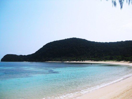
Coastal areas of Dilasag feature white sand beaches and fresh sea foods. With its mountainous terrain, Dilasag also provides an ideal venue for trekking and mountain-climbing.
The municipality is also home to the Amro River Protected Landscape.