
Elevation 130 m | ||
 | ||
Age of rock 15,600 to 13,700 years ago Similar Naturschutzgebiet Riedensee, Leuchtturm Bastorf, Ruhn Hills, Conventer See, Doberan Minster | ||
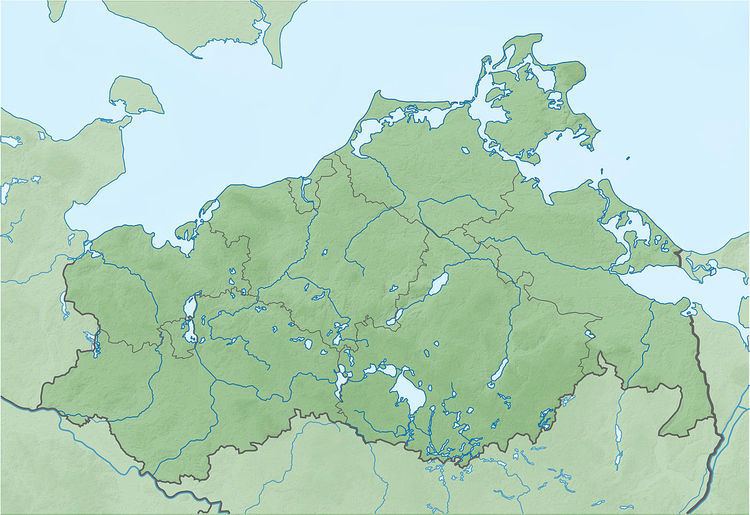
The Diedrichshagener Berg, at 129.8 metres, is the highest point on the forested ridge of Kühlung in the northeast German state of Mecklenburg-Vorpommern.
Map of Diedrichshagener Berg, 18236 Kr%C3%B6pelin, Germany
It is located in the district of Rostock only roughly southeast of the Bay of Mecklenburg, south of the Baltic Sea coast, and immediately south of Kühlungsborn and roughly west of Bad Doberan.
References
Diedrichshagener Berg Wikipedia(Text) CC BY-SA