
 | ||
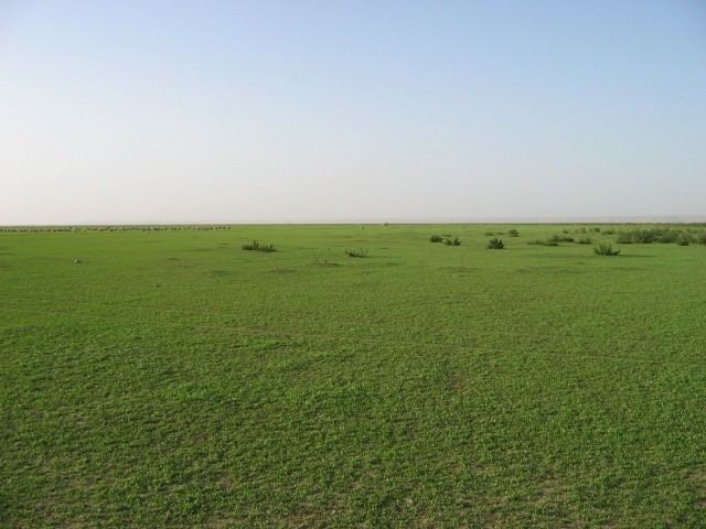
al-Dibdiba is an extensive gravel plain in northeastern Saudi Arabia,
Contents
Location
It is at Latitude27.887482 and Longitude46.470322, south east of Hafr al-Batin, the nearest large town. The plain is bounded on the east by the western boundary of the Saudi Arabia-Kuwait neutral zone the wādī al-Bāṭin on the west, and the gravel ridge of al-Warīʿa to the south.
The plain extends 20 km northward from Saudi Arabia into Kuwait Dibdiba plain has an area of c. 30,000 sq. km.
Etymology
Mutayr tribe live there in the winter as do other Bedouin tribes on occasion, to graze. He name Dibdiba (plural dabadid) is a name given by the Bedouins derived from the name of the noise their clogs make on hard ground.
Geography
The feature is remarkable for its firm, almost featureless surface, sprinkled with pebbles of limestone, quartz, and igneous rock and saline hydrology. Despite its arid climate the area does support vegetation when it rains.
The plain may have been created by the Wadi Al-Batin river system which may have been active may have been active 2500–3000BC allowing for deposition of the Dibdiba Formation, similar to an alluvial fan deposit, both morphologically and sedimentologically). The sediments may be 500m deep