
Total islands 12 Highest point Imerovigli (Othoni) Population 1217 (2011) Elevation 393 m Postal code 49100 Regional unit Corfu | Highest elevation 393 m (1,289 ft) Capital city Othoni Vehicle registration KY Capital Othonoi Archipelago Ionian Sea | |
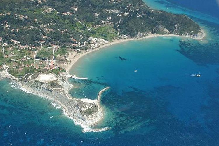 | ||
The Diapontia Islands or Diapontian Islands (Greek: Διαπόντια νησιά) are a Greek island complex in Ionian Sea. They are located in the northwest of Corfu, 6 km away from Corfu and about 40 km away from Italian coasts.The main islands of the archipelago are Othonoi, Ereikoussa and Mathraki. They are the only inhabited islands. The complex includes also the islets and rocks of Diakopo, Diaplo, Karavi, Kastrino, Leipso, Ostrako, Plaka, Plateia and Tracheia.
Map of Isole Diapontie, Greece
The largest island is Othonoi, with an area of 10.8 km2 and the most populated is Ereikoussa with a population of 496 inhabitants according to 2011 census. The islands are the most west point in Greece and administratively belong to Corfu regional unit and Corfu municipality. The islands today are a tranquil and serene place for holidays.