
Area 12,440 km² Population 212,062 (2009) | Time zone GMT (UTC+0) Local time Thursday 2:10 AM | |
 | ||
Weather 23°C, Wind NE at 10 km/h, 10% Humidity | ||
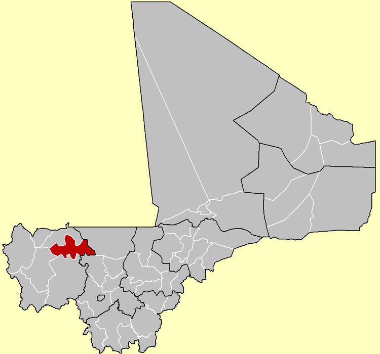
Diéma Cercle is an administrative subdivision of the Kayes Region of Mali. Its administrative center (chef-lieu) is the small town of Diéma. The Cercle is divided into one urban commune and fourteen rural communes. In the 2009 census the cercle had a population of 212,062.
Map of Diema, Mali
The cercle is divided into 15 communes:
References
Diéma Cercle Wikipedia(Text) CC BY-SA