
Country India District Giridih Vehicle registration JH Population 267,352 (2011) | State Jharkhand Time zone IST (UTC+5:30) Lok Sabha constituency Kodarma | |
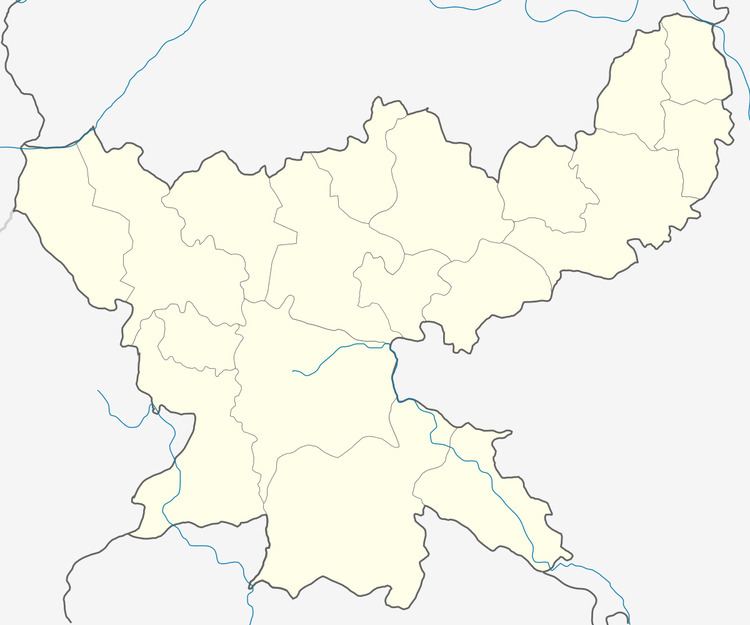 | ||
Dhanwar is a community development block that forms an administrative division in Khuri Mahua subdivision of Giridih district in the Indian state of Jharkhand.
Contents
Geography
Dhanwar is located at 24°25′12″N 85°58′48″E.It has an average elevation of 336 metres (1102 feet).
Dhanwar CD Block covers an area of 35,240.37 hectares (87,080.9 acres), out of which 6,049.05 hectares (14,947.5 acres) was forest area.
Panchayats in Dhanwar CD Block are: Maheshmarwa, Balhara, Dornda (N), Dornda (S), Sirsai, Garjasaran, Lal Bazar, Bandhi, Ambatand, Pandeydih, Dhanwar (N), Dhanwar (S), Panchrukhi, Bhalitunda, Pandriya, Dhanaipura, Dumardiha, Gundari, Arkhango, Nimadih, Jeruadih, Makdiha, Chandrakho, Sapamaran, Barjo, Jarisingha, Gadi, Kendua, Giridih, Galwati, Kargali Khurd, Gorhand, Chatti, Dharampur, Bodgo, Hemrodih, Siramdih, Kailadhab and Parsan.
Rivers in Dhanwar CD Block are Irga and Barako.
Demographics
As per 2011 Census of India, Dhanwar CD Block had a total population of 267,352, of which 258,575 were rural and 8,777 were urban. There were 138,380 males and 128,972 females. Scheduled Castes numbered 35,200 and Scheduled Tribes numbered 2,064.
Dhanwar is a census town in Dhanwar CD Block.
Literacy
As of 2011 census, the total number of literates in Dhanwar CD Block was 141,963 out of which 89,562 were males and 52,401 were females.