
Country Canada Census division 10 Highways Highway 45 Area 84 ha Local time Tuesday 1:43 PM | Time zone MST (UTC−7) Elevation 600 m Population 186 (2016) Province Alberta | |
 | ||
Weather -13°C, Wind NW at 24 km/h, 57% Humidity | ||
Dewberry is a village in central Alberta north of Vermilion. The village was so named on account of dewberries near the original town site. Its first school opened in 1930.
Contents
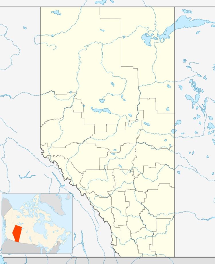
Map of Dewberry, AB, Canada
Demographics
In the 2016 Census of Population conducted by Statistics Canada, the Village of Dewberry recorded a population of 186 living in 90 of its 104 total private dwellings, a 2999250000000000000♠−7.5% change from its 2011 population of 201. With a land area of 0.82 km2 (0.32 sq mi), it had a population density of 226.8/km2 (587.5/sq mi) in 2016.
In the 2011 Census, the Village of Dewberry had a population of 201 living in 87 of its 106 total dwellings, a 2.6% change from its 2006 population of 196. With a land area of 0.84 km2 (0.32 sq mi), it had a population density of 239.3/km2 (619.7/sq mi) in 2011.
The population of the Village of Dewberry according to its 2010 municipal census is 219, a 5.2% decrease from its 2008 municipal census population of 231.
In 2006, Dewberry had a population of 196 living in 90 dwellings, a 2.0% decrease from 2001. The village had a land area of 0.84 km2 (0.32 sq mi) and a population density of 232.5/km2 (602/sq mi).