
Isolation 7.99 mi (12.86 km) Prominence 380 m | Elevation 2,972 m | |
 | ||
Easiest route Devil's Head Trailhead #611(Devil's Head National Recreation Trail) Similar Front Range, Grays Peak, Torreys Peak, Mount Antero, Mount Evans | ||
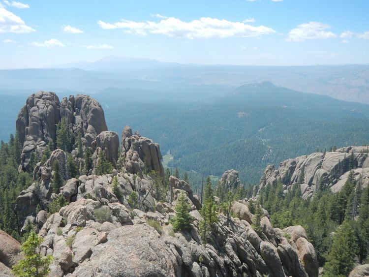
Devils Head is a mountain summit in the Rampart Range of the Rocky Mountains of North America. The 9,749-foot (2,971 m) peak is located in Pike National Forest, 14.2 miles (22.9 km) southwest by south (bearing 210°) of the community of Sedalia in Douglas County, Colorado, United States.
Contents
Map of Devils Head, Colorado 80135, USA
MountainEdit
Devils Head is topped by the Devil's Head Lookout, an active United States Forest Service fire lookout tower. Access to the summit and lookout tower is via the Devils Head National Recreation Trail.
Devils Head name comes from prospectors of the late 1800s. From the southwest of Devils Head, and looking northeast toward the mountain, one can see a shape of a face laying flat, as if the mountain was looking up. Some of the forest has softened the looks, as there used to be a more obvious eye socket, and facial features. However, from this angle, one is still able to see the face and even horns.