
Population 10,026 (2015 est) Derwent Valley Council Glenorchy Council seat New Norfolk | Mayor Martyn Evans Website Derwent Valley Council Area 4,111 km² | |
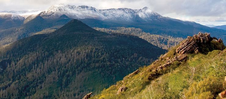 | ||
Region Upper Derwent River region Points of interest Russell Falls, Gordon Dam, Lake Pedder, Horseshoe Falls, Salmon Ponds and the Muse Destinations Mount Field National, New Norfolk, Lake Pedder, Strathgordon, Mount Field | ||
The Derwent Valley Council is a local government area of Tasmania, Australia. It covers the upper part of the Derwent River, from the major town of New Norfolk (just north-west of Hobart) to the remote south-west Hydro town of Strathgordon.
Map of Derwent Valley, TAS, Australia
The Tarn Shelf is located within this region and is an area of significant botanic interest. One unique plant that is only found in this area is a cross between the King Billy and Huon Pine.
The council logo depicts an oast house (a kiln for drying hops), trees and a roll of paper which are representative of major industries in the municipality.
Some tourism materials combine the LGA area with that of the Central Highlands to call it Derwent Valley and highlands region.
References
Derwent Valley Council Wikipedia(Text) CC BY-SA