
Postcode(s) 7140 Postal code 7140 | Local time Tuesday 4:52 PM | |
 | ||
Weather 19°C, Wind SE at 11 km/h, 42% Humidity | ||
Derwent Bridge is a locality on the Lyell Highway at the southern edge of the Cradle Mountain-Lake St Clair National Park.
Map of Derwent Bridge TAS 7140, Australia
It is just south of Lake St Clair and the Lake St Clair visitor centre; and it is north of Lake King William and the Butlers Gorge Power Station.
It is also the last inhabited location before Linda Valley in the West Coast Range - this section of the highway passes through the Wild Rivers National Park. In the past there were a couple of isolated houses along Lyell Highway that have been removed.
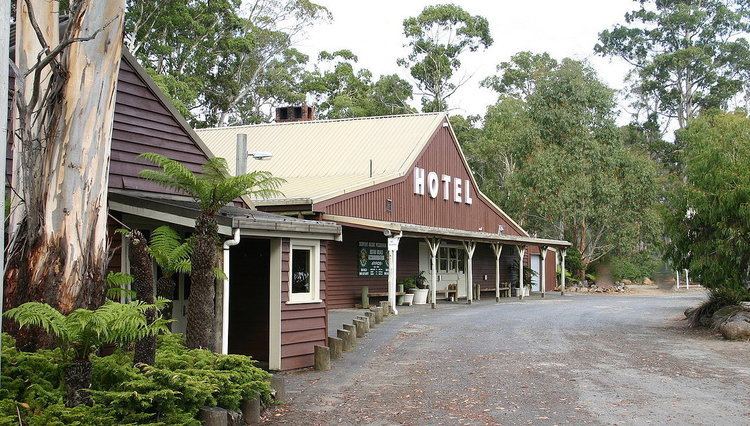
Today, Derwent Bridge features not only the bridge alluded to in its name – spanning the Derwent River – but accommodation units, and also a roadside public house.
Derwent Bridge was used as the principal location for the filming of the 2009 AFI nominated television drama The Last Confession of Alexander Pearce.
Derwent Bridge Post Office opened on 15 February 1937 and closed in 1980.