
Country India District Tonk Vehicle registration RJ Population 20,023 (2001) | State Rajasthan Time zone IST (UTC+5:30) Elevation 296 m Local time Tuesday 1:44 AM | |
 | ||
Weather 20°C, Wind SE at 3 km/h, 32% Humidity Neighborhoods Janta Colony, Vivekanand Colony, Nehru Market, Bengali Mohalla, Patel Nagar, Keer Mohalla, Ward Number 15 | ||
Deoli is a city and a municipality in Tonk district, 85 km from Kota in the state of Rajasthan, India.
Contents
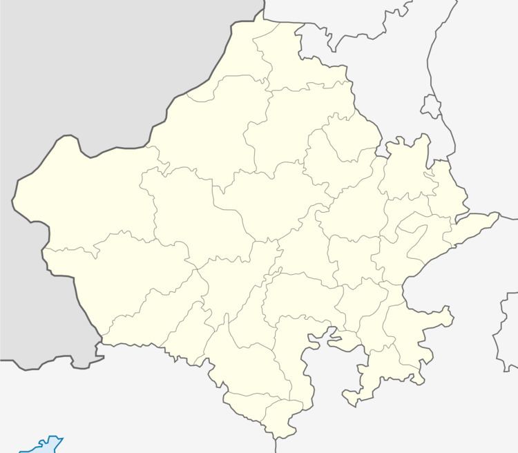
Map of Deoli, Rajasthan
Demographics
Map Coordinates of Deoli
Latitude:N 25° 45' 22.8193" Longitude:E 75° 23' 3.1701"
Latitude:N 25° 45.380322' Longitude:E 75° 23.052835'
Latitude:25.756339° Longitude:75.384214°
STD Code-01434
PIN Code-304804
Population
Deoli had a population of 30,023. Males constitute 54% of the population and females 46%.10% of the population is under 6 years of age.
Literacy
Deoli has an average literacy rate of 70%, higher than the national average of 59.5%: male literacy is 77% and female literacy is 61%.
History
Deoli was established as British Chavni around the 1850s. It was one of the 6 British Chavnis in Rajasthan.
References
Deoli, Rajasthan Wikipedia(Text) CC BY-SA