Rahul Sharma (Editor)

Deoli, Maharashtra

Updated on
Edit
Like
Comment
Share on FacebookTweet on TwitterShare on LinkedInShare on Reddit
Country
  
India

District
  
Wardha

Website
  
maharashtra.gov.in

Population
  
15,875 (2001)

State
  
Maharashtra

Time zone
  
IST (UTC+5:30)

Elevation
  
262 m

ISO 3166 code
  
ISO 3166-2:IN

Deoli, Maharashtra

Weather
  
25°C, Wind E at 6 km/h, 33% Humidity

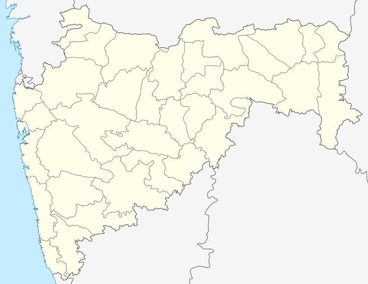
Deoli is a small town and a municipal council in Wardha district in the state of Maharashtra, India.

Contents

Geography

Deoli is located at 20.67°N 78.48°E / 20.67; 78.48. It has an average elevation of 262 metres (859 feet).

Demographics

As of 2001 India census, Deoli had a population of 15,875. Males constitute 51% of the population and females 49%. And 2011 Census Population 19288 Deoli has an average literacy rate of 72%, higher than the national average of 59.5%: male literacy is 78% and, female literacy is 65%. In Deoli, 12% of the population is under 6 years of age. MIDC AREA Growth point in Wardha District. near about 30 MIDC Small And Big Company stable in Deoli area.

Education

  • Computer Education Kavita Computer Education *
  • Janta High School & Jr. College Deoli
  • Munchipal High School
  • Yeshwant Girls Highschool deoli
  • S.S.N.J Mahavidhyalay Deoli
  • Dnyanbharti College Deoli
  • Srujan Convent Deoli
  • Gurukul Convent Deoli
  • [Education Institute]
  • [Taluka Educational Hub]
  • vicky dot com * cyber cafe Vaidya Chock, Deoli
  • Places of worship

  • Mirannath Mandir {[ Old Temple in Deoli Town and nearly 19th century.
  • Sant Eknath Mandir {[ Anather temple in Deoli in Devkabai Vaidya (Near Pahune's House in Ward no 10 is Various Temple in this Area.
  • Manohar Mandir
  • Ganpati Mandir
  • Dinashawali Masjit
  • Hanuman Mandir vaidya chok deoli*'
  • Hanuman mandir, Bakane lay out
  • Sabaji Mandir yevatmal road
  • Pandaji Mandir Near Ram Mandir police station
  • Navdurga Mandir- Near Athwadi Bajar
  • References

    Deoli, Maharashtra Wikipedia