
Country United States FIPS code 23-17355 Elevation 54 m Population 342 (2010) Area code 207 | Time zone Eastern (EST) (UTC-5) GNIS feature ID 0582440 Zip code 04628 Local time Monday 1:02 PM | |
 | ||
Weather -2°C, Wind NW at 13 km/h, 41% Humidity Area 39.58 km² (38.64 km² Land / 93 ha Water) | ||
Route 1 dennysville maine
Dennysville is a town in Washington County, Maine, United States. The population was 342 at the 2010 census.
Contents
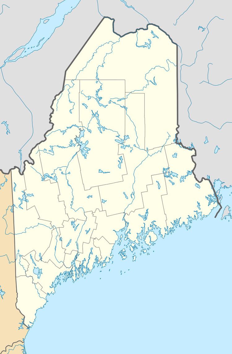
Map of Dennysville, ME, USA
History
Dennysville takes its name from the Dennys River.
Geography
According to the United States Census Bureau, the town has a total area of 15.28 square miles (39.58 km2), of which, 14.92 square miles (38.64 km2) of it is land and 0.36 square miles (0.93 km2) is water.
2010 census
As of the census of 2010, there were 342 people, 154 households, and 96 families residing in the town. The population density was 22.9 inhabitants per square mile (8.8/km2). There were 189 housing units at an average density of 12.7 per square mile (4.9/km2). The racial makeup of the town was 97.4% White, 0.6% Native American, and 2.0% from two or more races. Hispanic or Latino of any race were 1.8% of the population.
There were 154 households of which 22.1% had children under the age of 18 living with them, 51.3% were married couples living together, 7.1% had a female householder with no husband present, 3.9% had a male householder with no wife present, and 37.7% were non-families. 33.8% of all households were made up of individuals and 18.8% had someone living alone who was 65 years of age or older. The average household size was 2.22 and the average family size was 2.86.
The median age in the town was 48.6 years. 19.9% of residents were under the age of 18; 6.7% were between the ages of 18 and 24; 19.3% were from 25 to 44; 34.5% were from 45 to 64; and 19.6% were 65 years of age or older. The gender makeup of the town was 46.8% male and 53.2% female.
2000 census
At the 2000 census, there were 319 people, 140 households and 95 families residing in the town. The population density was 21.6 per square mile (8.3/km²). There were 201 housing units at an average density of 13.6 per square mile (5.3/km²). The racial makeup of the town was 99.37% White, and 0.63% from two or more races. Hispanic or Latino of any race were 0.31% of the population.
There were 140 households of which 28.6% had children under the age of 18 living with them, 55.0% were married couples living together, 6.4% had a female householder with no husband present, and 32.1% were non-families. 30.7% of all households were made up of individuals and 19.3% had someone living alone who was 65 years of age or older. The average household size was 2.28 and the average family size was 2.79.
24.1% of the population were under the age of 18, 7.5% from 18 to 24, 23.8% from 25 to 44, 24.1% from 45 to 64, and 20.4% who were 65 years of age or older. The median age was 41 years. For every 100 females there were 92.2 males. For every 100 females age 18 and over, there were 90.6 males.
The median household income was $20,000 and the median family income was $28,750. Males had a median income of $27,292 versus $13,750 for females. The per capita income for the town was $13,336. About 20.8% of families and 23.6% of the population were below the poverty line, including 15.9% of those under age 18 and 29.5% of those age 65 or over.