
Population 578 (2011) Sovereign state United Kingdom Local time Monday 5:12 PM | OS grid reference TM283634 Post town WOODBRIDGE Dialling code 01728 | |
 | ||
Weather 7°C, Wind NW at 13 km/h, 85% Humidity | ||
Dennington is a village and civil parish in the English county of Suffolk. It is 2 miles (3.2 km) north of Framlingham and 15 miles (24 km) north-east of Ipswich in the east of the county. It lies along the A1120 road around 8 miles (13 km) west of the road's junction with the main A12 road in Yoxford.
Map of Dennington, Woodbridge, UK
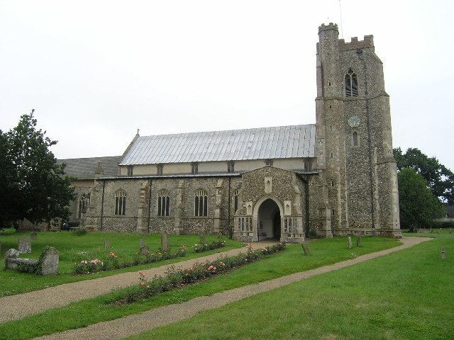
At the 2011 census Dennington had a population of 578. The parish church is dedicated to St Mary. The village has a primary school, village hall and pub.
Dennington is served by occasional bus services. The nearest railway station is at Darsham with an hourly service to either Ipswich or Lowestoft.
References
Dennington Wikipedia(Text) CC BY-SA