
Country United States ZIP codes 58430 Elevation 619 m Zip code 58430 Population 20 (2010) | Time zone Central (CST) (UTC-6) FIPS code 38-19060 Area 170 ha Local time Monday 8:57 AM | |
 | ||
Weather 2°C, Wind E at 19 km/h, 100% Humidity | ||
Denhoff is a census-designated place in central Sheridan County, North Dakota, United States. An unincorporated community, it was designated as part of the U.S. Census Bureau's Participant Statistical Areas Program on March 31, 2010. It was not counted separately during the 2000 Census, but was included in the 2010 Census, where a population of 20 was reported.
Map of Denhoff, ND 58430, USA
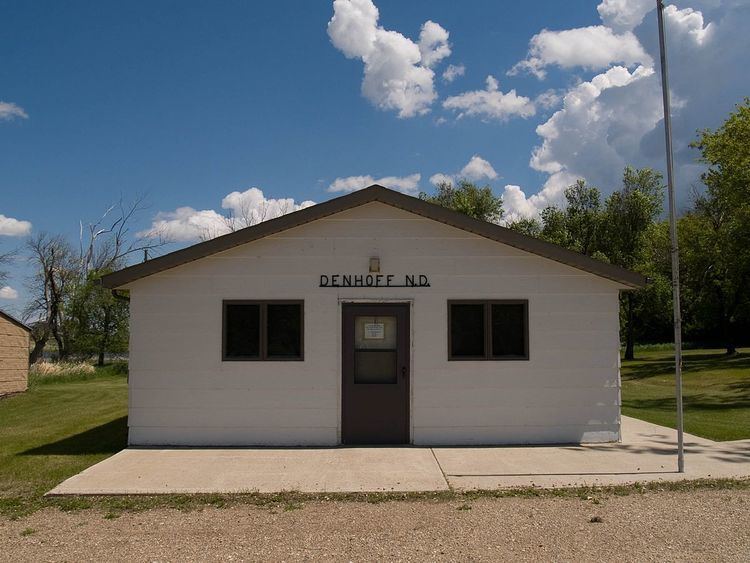
It lies along North Dakota Highway 200 east of the city of McClusky, the county seat of Sheridan County. Although it is included on one website as a ghost town, it has a functioning post office, with the ZIP code of 58430. and a church, as well as 9 inhabited houses sheltering a population of 17. In 2009, a seed packaging plant began operations in Denhoff as well. The hamlet is currently unincorporated and has no formal government of its own.
Historically, Denhoff functioned as a service town for the regional farming community, which began in decline after the 1960s. In the 1950s, its population reached its maximum of over 350 residents, and in addition to the post office and church, services consisted of a school, a gas station, and a bar. The expansion of corporately-managed big farms during the 1970s led to a major loss of population to unemployment in both Denhoff and the surrounding countryside, which in turn led to closure of most of the service operations and further loss of populace.