
Area 178.9 km² | Time zone EET (UTC+2) Local time Monday 2:21 AM | |
 | ||
Component villages Deleni, Petroșani, Pietreni, Șipotele Weather 9°C, Wind S at 21 km/h, 65% Humidity | ||
Deleni is a commune in Constanța County, Romania.
Contents
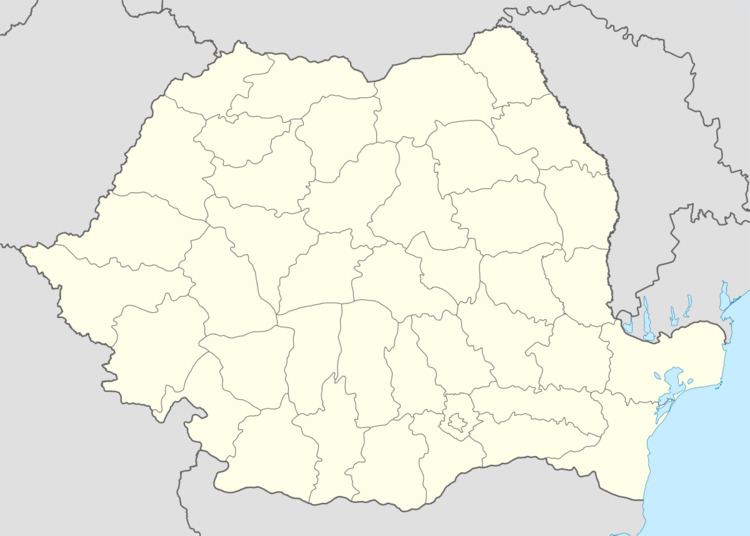
Map of Deleni, Romania
It is situated in the south of Constanța County at 59 km of Constanța city.
The villages of the commune are:
The territory of the commune also includes the former villages of Poeniţa (historical name: Borungea, Turkish: Borunca), located at 44°0′55″N 28°0′38″E, disestablished by Presidential Decree in 1977, and Furca (historical name: Becter), located at 43°59′51″N 28°4′18″E.
Demographics
At the 2011 census, Deleni had 2,272 Romanians (98.31%), 10 Turks (0.43%), 28 Tatars (1.21%), 1 others (0.04%).
References
Deleni, Constanța Wikipedia(Text) CC BY-SA