
- land 7.3 sq mi (19 km) Area 20.46 km² Area code 504 | - summer (DST) CDT (UTC-5) Local time Sunday 4:37 PM | |
 | ||
- water 0.6 sq mi (2 km), 7.59% Weather 19°C, Wind SE at 21 km/h, 73% Humidity Parish St. Bernard Parish, Louisiana | ||
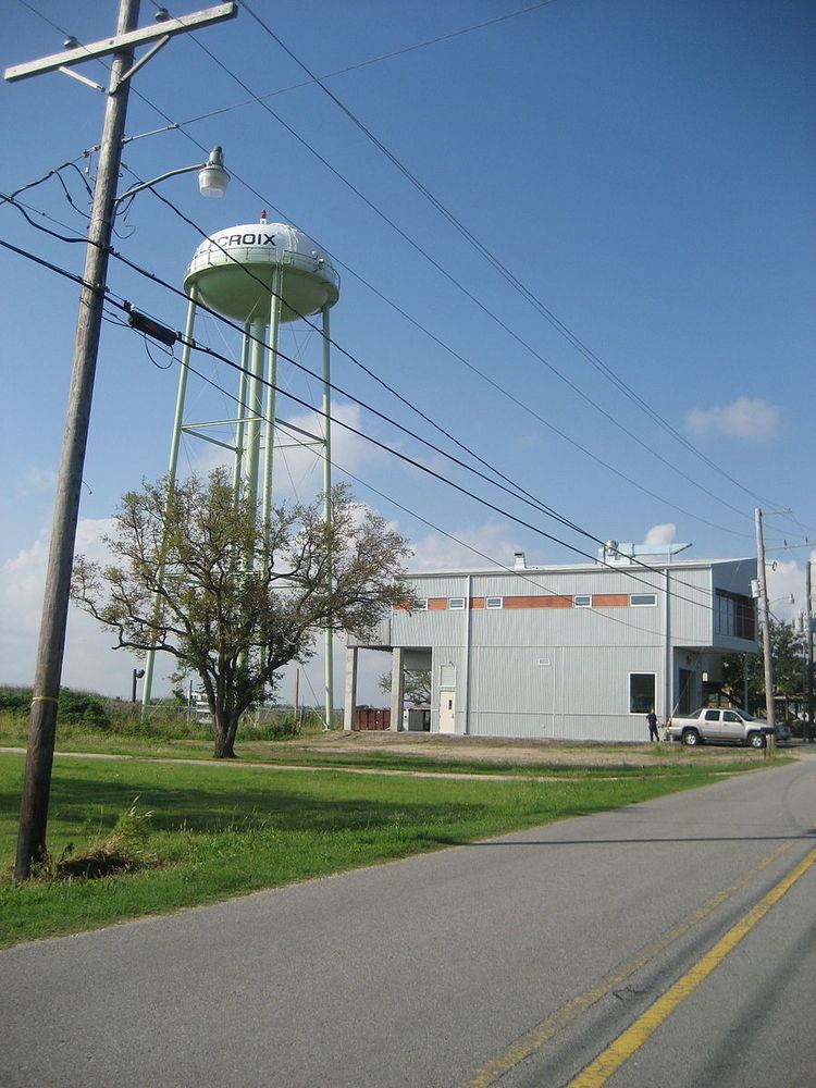
Delacroix Island or Delacroix is an unincorporated community in St. Bernard Parish, Louisiana, United States.
Contents
Map of Delacroix, LA 70085, USA
History
In the 1780s, Spanish Canary Islanders, or Isleños, settled in the area after being given land grants from Spain. After selling their land grants to the planters, the Isleños frequently worked on the plantations they helped to create. Some began to resettle in the easternmost reaches of St. Bernard parish around the 1820s resulting in the firm establishment of Delacroix Island fishing community before the Civil War.
By the 1900s, Yscloskey, Louisiana and Shell Beach, Louisiana near Lake Borgne were thriving communities. Seafood harvested by these fishermen in the 1800s and 1900s supplied New Orleans restaurants with a seemingly inexhaustible supply of shrimp, fish, crabs, and oysters.
Previously connected to the outside world by boat, in the 1930s a road was constructed to "the island" (in reality an inland area surrounded by marsh and bayous).
Since the 20th century, Delacroix has been regionally famous for fishing and trapping.
Like much of the region, Delacroix was devastated by Hurricane Katrina and its storm surge in 2005. The entire area was flooded, and the majority of buildings completely destroyed.
By 2010, much of this fishing town had been reconstructed, with most new construction elevated high on piers.