
Country Philippines District 1st district Barangays Elevation 8 m Province Camarines Sur | Region Bicol (Region V) Founded 1937 Time zone PST (UTC+8) Area 208.3 km² Local time Monday 6:13 AM | |
 | ||
Weather 23°C, Wind NW at 2 km/h, 92% Humidity Neighborhoods Palaspas, Sabang, Catabanga | ||
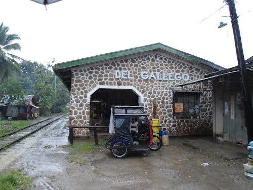
Del Gallego is a fourth class municipality in the province of Camarines Sur, Philippines. It used to be called Danawin and is located along Kilbay River. It was established through Executive Order No. 56 Series of 1936 signed by then President Manuel L. Quezon. According to the 2015 census, it has a population of 25,397 people.
Contents
Map of Del Gallego, Camarines Sur, Philippines
The municipality celebrated its 75th foundation anniversary on October 5, 2013.
Del Gallego is the last town in the northern part of Camarines Sur. This is where the Quirino Highway (Andaya Highway) road meets with the first town of Quezon province, Tagkawayan.
According to the town's socio-economic profile in the year 1998, agricultural workers are greater in number reaching about 70% of the whole working force while the remaining 30% are engaged in non-agricultural occupations.
History
In 1959, the following sitios were converted into barrios: Sinuknipan, Sabang, Pasay and Bajo (renamed to San Juan).
Barangays
Del Gallego is politically subdivided into 32 barangays.
Demographics
In the 2015 census, the population of Del Gallego was 25,397 people, with a density of 120 inhabitants per square kilometre or 310 inhabitants per square mile.
Education
Public and private schools: