
 | ||
Similar Vasilyevsky Island, Neva River, Smolensky Lutheran Cemetery, Petrogradsky Island, Aptekarsky Island | ||
Dekabristov Island (Russian: остров Декабристов), or 'Decembrists' Island, known before 1926 as Goloday Island (остров Голодай - possibly a corruption of a British merchant name Halliday) is an island in Vasileostrovsky District of Saint Petersburg, Russia, to the north of Vasilyevsky Island, separated from it by Smolenka River (59°57′N 30°14′E).
Map of Dekabristov Island, St Petersburg, Russia, 199155
The island, originally low-lying and frequently flooded, all the same was traditionally used as a cemetery (see Smolensky Lutheran Cemetery). In the early Soviet period, the name was changed to Decembrists' Island to commemorate five executed leaders of Decembrist revolt, who were buried in an unmarked grave on Goloday.
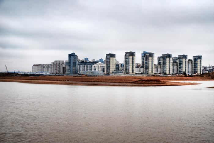
In 1911, a British investment company launched a development project on a 1 square-kilometer lot in western Goloday Island, hiring Ivan Fomin and Fyodor Lidwahl to design a neoclassical middle-classical neighborhood. A small part of this project was completed before World War I and the Russian revolution of 1917. Eastern and northern sides of the island were heavily industrialized; the western half of the island was built up with a Leonid Brezhnev-era highrise.
Dekabristov Island is connected to Vasilievsky island (south) with five automobile bridges, and to the tiny Serny Island north from it. It is connected to the center of the city through Primorskaya station of Saint Petersburg Metro.