
Country United States County Saint Charles ZIP codes 63341 Local time Sunday 10:15 AM | Time zone Central (CST) (UTC-6) Zip code 63341 | |
 | ||
Weather 14°C, Wind SW at 19 km/h, 37% Humidity Points of interest Weldon Spring Conserva, Broemmelsiek Park, Matson Hill Trail | ||
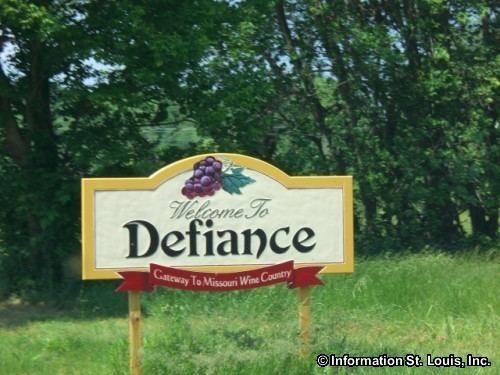
Defiance is an unincorporated community in Saint Charles County, Missouri.
Contents
Map of Defiance, MO, USA
Situation
The Katy Trail State Park runs through Defiance near the Missouri River. This was the final home of frontiersman Daniel Boone, who settled in the Femme Osage Valley in 1799 after receiving a Spanish land grant. The hamlet was not named during Boone's life. Its population in 2000 was 3,154.
The Daniel Boone Home, Daniel Boone Hays House, and Isaac McCormick House are listed on the National Register of Historic Places. The Wolf-Ruebeling House is formerly listed.
Name
It was named in the late 1800s when the Katy Railroad arrived. Initially the town was to be called Parsons for the landowner. Because there was already a Parsons, Kansas on the Katy line, settlers considered other names, including Missouriton and Bluff City, before deciding on Defiance because of the hamlet's defiance of rival Matson, Missouri to get a station on the line.
Characteristics
From here west to Marthasville are numerous wineries; SH 94 is sometimes called the "Missouri Weinstrasse". The area is part of the Missouri Rhineland, where vineyards are cultivated on both sides of the Missouri River. Started originally by German immigrants, the wine industry also was shaped by later Italian immigrants.