
Location Bay of Bengal Total islands 7 District South Andaman Area 6.19 km² Area code 031927 Adjacent body of water Indian Ocean | Adjacent bodies of water Indian Ocean Highest elevation 0 m (0 ft) Elevation 0 cm Postal code 744202 Archipelago Andaman Islands | |
 | ||
Major islands Defence
Clyde Island
Montgomery Island
Petrie Island | ||
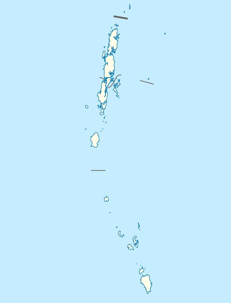
Defence Islands are an island group of the Andaman Islands. It belongs to the South Andaman administrative district, part of the Indian union territory of Andaman and Nicobar Islands. the islands are situated 33.5 km (21 mi) north from Port Blair.
Contents
Map of Defense Island, Andaman and Nicobar Islands
Geography
The islands belongs to the Defence Group and lies in the sound of Jirkatang. at their southern islands, there is a natural harbour called Port Campbell.
Administration
Politically, Defence Island, along neighboring islands, is part of Ferrargunj Taluk.
References
Defence Islands, Andaman Wikipedia(Text) CC BY-SA