
 | ||
Similar Arrowrock Dam, Celebration Park, Lucky Peak State Park, Fort Boise Wildlife Manage, Karcher Mall | ||
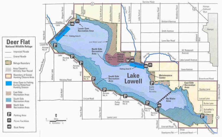
Deer Flat Upper Embankment (National ID # ID00276) is a dam in Canyon County, Idaho, directly southwest of the town of Nampa.
The earthen dam was completed in 1908 by the United States Bureau of Reclamation, with a height of 74 feet and 4165 feet long at its crest. The Upper Embankment is the largest of a set of four dikes here impounding the water of the Boise River in offstream storage. The other dams are:
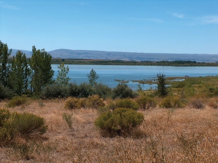
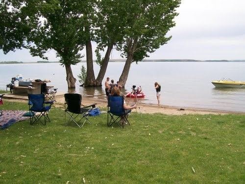
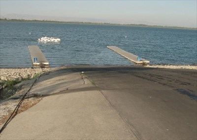
The reservoir it creates, Lake Lowell, has a normal surface area of 16 square miles, and a maximum capacity of 169,000 acre-feet.
The Boise Project was among the first undertaken by the Bureau of Reclamation after its formation in 1902. President Theodore Roosevelt created a national bird refuge at Deer Flat Reservoir, now Lake Lowell, with a February 25, 1909, executive order. The refuge was one of 17 federal reclamation projects referenced in the order, each of which used manmade aquifers to provide safe havens for migratory birds. The effort to include the Canyon County site was spearheaded by James H. Lowell, then-president of the local Payette-Boise Water Users Association.
The "globally important" Deer Flat National Wildlife Refuge for migratory fowl and other wildlife consists of two sections which contains open water, edge wetlands, grasslands and riparian and forest habitats. The largest portion of the refuge consists of Lake Lowell and its environs. The second portion comprises the Snake River islands located in non-contiguous localities along the river in Canyon, Owyhee, Payette, and Washington counties (Idaho) and Malheur and Baker counties (Oregon). The visitors' center on the northern Lake Lowell shoreline is the hub of activity for visitors and those volunteers who donate their time and services to wildlife conservation projects.