
Census division 16 Post office Founded 1912 Area 139 ha Area code 306 | Rural Municipality Canwood Incorporated (Village) 1922 Population 347 (2006) Local time Sunday 12:28 AM Number of airports 1 | |
 | ||
Weather -14°C, Wind N at 14 km/h, 88% Humidity | ||
Debden is a village in the boreal forest of central Saskatchewan, Canada. Its location is on Highway 55 it is 94 km from Prince Albert and 194 km from Saskatoon. It is also the administrative headquarters of the Big River Cree First Nations band government.
Contents
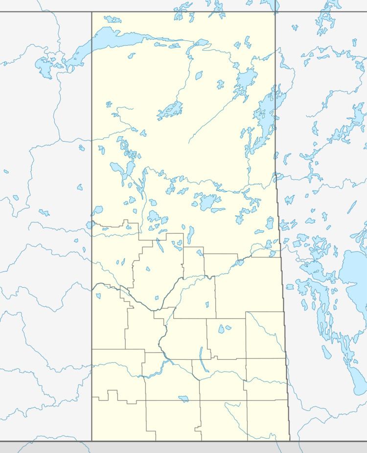
Map of Debden, SK, Canada
The population was 358 in the Canada Census of 2011. Most of the people are of Fransaskois origins. The village is at the edge of the Prince Albert National Park and with all the lakes nearby it becomes a very popular spot in the summer months.
Demographics
French was the mother tongue of 105 of the residents in 2011.
References
Debden, Saskatchewan Wikipedia(Text) CC BY-SA