
OS grid reference SP4705 Dialling code 01865 | Sovereign state United Kingdom Postcode district OX2 | |
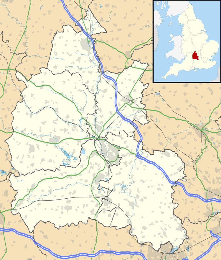 | ||
Dean Court is a suburb 2 miles (3.2 km) west of the centre of Oxford, England. Dean Court was part of Berkshire until the 1974 local government boundary changes transferred it to Oxfordshire.
Contents
Map of Dean Court, Oxford, UK
History
Dean Court was first mentioned in the 14th century under the name of "La Dene", and in 1538 there was a reference to "the rectory of Dencourt". However there is no later record of the church which was evidently in the hamlet during the Middle Ages.
Until after the Second World War Dean Court was a small hamlet on the road from Oxford to Eynsham.
Development of the area started in the early 1950s with a housing estate called Pinnocks Way. In 1969 Deanfield Road, Broad Close and Owlington Close were built north of Eynsham Road by Wimpey Homes. The Orchard Road estate (originally marketed as "The Hawthornes") was built by Broseley Estates Limited and Costain in 1983 and later in 1985 houses were added by Thameway and Macleans. The Fogwell Road estate was built in 1985.
Dean Court is part of the parish of Cumnor, and until the 20th century parishioners worshipped 1.5 miles (2.4 km) away at the Church of England parish church of Saint Michael, Cumnor. There is now the church of Saint Andrew, Dean Court that was built as a chapel of ease.