
Length 69 km Mouth Kennebec River | Source Flagstaff Lake Country United States of America | |
 | ||
Main source Maine
1,145 feet (350 m) River mouth Kennebec River
570 feet (170 m) Tributaries Left:
North Branch Dead River
Right:
South Branch Dead River | ||
The Dead River, sometimes called the West Branch, is a 42.6-mile-long (68.6 km) river in central Maine in the United States. Its source is Flagstaff Lake, where its two main tributaries, South Branch Dead River and North Branch Dead River, join (45°09′41″N 70°25′55″W). It flows generally east to join the Kennebec River at The Forks, Maine.
Contents
Map of Dead River, Maine, USA
The Dead River played a role in the American Revolution. In the fall of 1775 then newly commissioned Colonel Benedict Arnold led a force of over 1000 men on a grueling trip through Maine, as part of the invasion of Canada. Ascending the Kennebec in bateaux, they avoided the rapids of the lower Dead River via a portage of about 12 miles (20 km) at the "Great Carrying Place" (Carrying Place–Carrying Place Town, Maine Townships 1–2, Range 3, BKP WKR) to a position above Long Falls (now drowned in Flagstaff Lake). They proceeded up the North Branch of the Dead River, through the Chain of Ponds to Arnold Pond in Coburn Gore (T.2/3 R.6 WBKP), and across the height of land into the watershed of Quebec's Chaudière River.
The logging industry is prominent in the area. Flagstaff Lake was formed by Long Falls Dam in 1950, to regulate the flow of the Dead River into the Kennebec River. At the time, the river drive was still a primary means of delivering timber to the pulp mills downstream. Although improved highways and the trucking industry have replaced the river drive, water releases continue to serve hydroelectric power-generating plants downstream.
RecreationEdit
The majestic Bigelow Mountain Range looks down from Flagstaff Lake's southern shore, making the Dead River region a scenic favorite for outdoor enthusiasts.
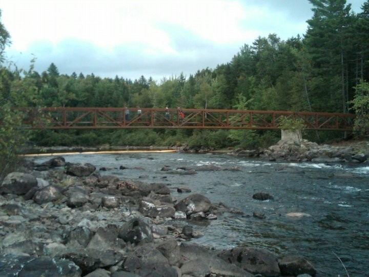
It is a popular river with whitewater boaters and rafters. The whitewater releases are controlled from Flagstaff Lake, which has been dammed and made into a reservoir, and range from 1200 to 7000 ft³/s (35–200 m³/s) and range in difficulty from easy class 2 to class 4+. The length of the run is 15 miles (24 km) from the put-in at Spencer Stream to the take-out at West Forks with no easy access by road. Boaters must be prepared for at least 5 hours of paddling of varying difficulty.
The Northern Forest Canoe Trail (NFCT) is a 740-mile (1,190 km) marked canoeing route extending from Old Forge, New York, to Fort Kent, Maine. From a four-mile portage between Wrangler on Wrangler Lake and Dallas Plantation on the South Branch, the trail runs about 35 miles (60 km) down the Dead River, to the mouth of Spencer Stream below Grand Falls.