
Time zone CST (UTC-6) Elevation 222 m Local time Saturday 5:11 PM | Established November 2, 1858 ZIP codes 61735, 61842, 61882 Area 88.22 km² Population 479 (2010) | |
 | ||
Weather 13°C, Wind SE at 21 km/h, 43% Humidity | ||
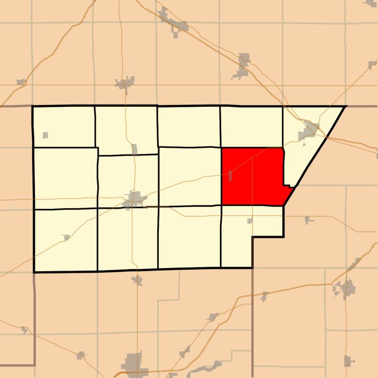
DeWitt Township is one of thirteen townships in DeWitt County, Illinois, USA. As of the 2010 census, its population was 479 and it contained 215 housing units. It was renamed from its original name of Marion Township on June 7, 1859.
Contents
- Map of De Witt Township IL USA
- Geography
- Cities towns villages
- Unincorporated towns
- Cemeteries
- School districts
- Political districts
- References
Map of De Witt Township, IL, USA
Geography
According to the 2010 census, the township has a total area of 34.06 square miles (88.2 km2), of which 31.78 square miles (82.3 km2) (or 93.31%) is land and 2.28 square miles (5.9 km2) (or 6.69%) is water.
Cities, towns, villages
Unincorporated towns
(This list is based on USGS data and may include former settlements.)
Cemeteries
The township contains these three cemeteries: Barnes, DeWitt and McCord.
School districts
Political districts
References
DeWitt Township, DeWitt County, Illinois Wikipedia(Text) CC BY-SA