
Elevation 866 ft (264 m) Local time Saturday 4:35 PM | Established November 20, 1850 Time zone CST (UTC-6) Population 46,781 (2010) | |
 | ||
Weather 5°C, Wind E at 26 km/h, 64% Humidity Points of interest Ellwood House, Prairie Park, Glidden Historical Center | ||
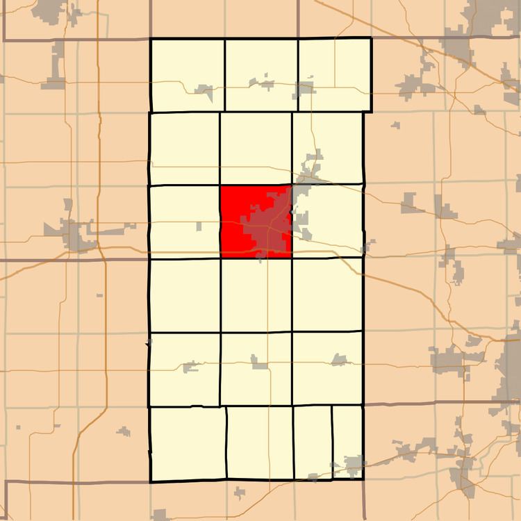
DeKalb Township is one of nineteen townships in DeKalb County, Illinois, USA. As of the 2010 census, its population was 46,781 and it contained 18,006 housing units. DeKalb Township was originally named Orange Township, but was renamed on November 20, 1850.
Contents
- Map of Dekalb Township IL USA
- Geography
- Cities towns villages
- Cemeteries
- Airports and landing strips
- School districts
- Political districts
- References
Map of Dekalb Township, IL, USA
Geography
According to the 2010 census, the township has a total area of 35.37 square miles (91.6 km2), of which 35.12 square miles (91.0 km2) (or 99.29%) is land and 0.24 square miles (0.62 km2) (or 0.68%) is water.
Cities, towns, villages
Cemeteries
The township contains these six cemeteries: Evergreen, Fairview Park, Oaklawn, Pleasant Street, Saint Mary's Catholic DeKalb and Whitmore.
Airports and landing strips
School districts
Political districts
References
DeKalb Township, DeKalb County, Illinois Wikipedia(Text) CC BY-SA