
Country Canada Time zone MST (UTC-7) Local time Saturday 2:33 PM Number of airports 2 | Area 132.6 km² | |
 | ||
Municipal district M.D. of Foothills No. 31 Weather -6°C, Wind N at 23 km/h, 72% Humidity | ||
De Winton is a hamlet in southern Alberta, Canada within the Municipal District (M.D.) of Foothills No. 31. It is located just south of the City of Calgary and west of Highway 2A (MacLeod Trail).
Contents
Map of De Winton, AB, Canada
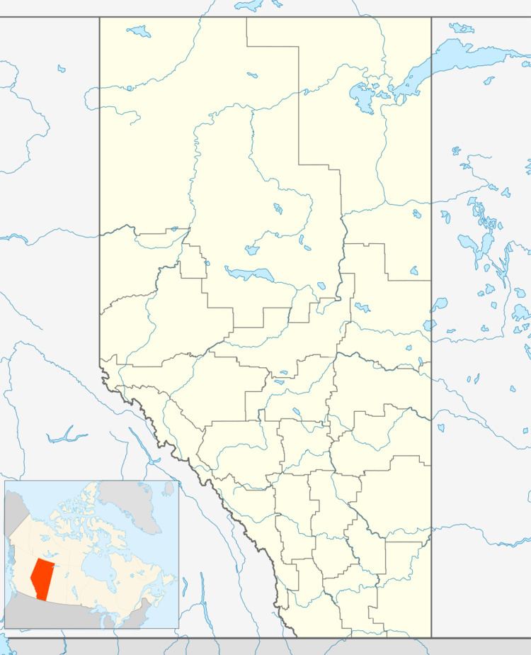
De Winton is located within Census Division No. 6.
A variant name is Dewinton. The village has the name of Francis de Winton, a British army officer.
History
During the Second World War, a Royal Air Force pilot training school was located at the Royal Canadian Air Force air station at De Winton (today's De Winton/South Calgary Airport). Temporary buildings were erected to house operations and accommodate service personnel.
Demographics
Statistics Canada has not recently published a population for De Winton.
However, Industry Canada shows that De Winton's greater rural area had a total population of 1,835 living in 636 dwellings in 2001. With a land area of 132.65 km2 (51.22 sq mi), its greater rural area has a population density of 13.8/km2 (36/sq mi).