
Country United States FIPS code 19-21045 Elevation 287 m Local time Saturday 3:00 PM Population 1,091 (2013) | Time zone Central (CST) (UTC-6) GNIS feature ID 0455823 Area 3.94 km² Zip code 50069 Area code 515 | |
 | ||
Weather 18°C, Wind SE at 23 km/h, 27% Humidity | ||
De Soto is a city in Dallas County, Iowa, United States. The population was 1,050 at the 2010 census. It is part of the Des Moines–West Des Moines Metropolitan Statistical Area.
Contents
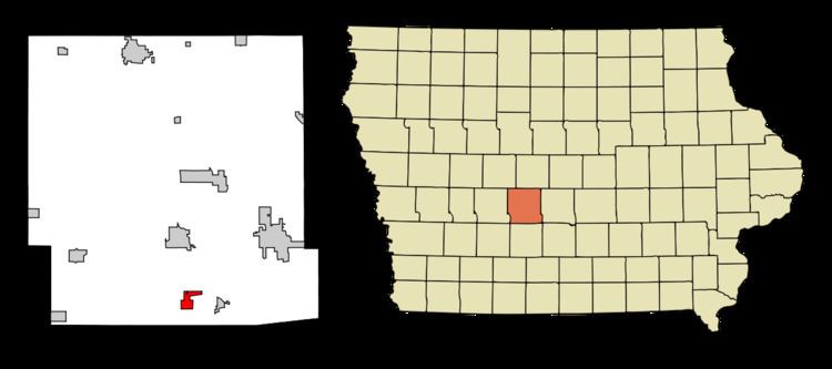
Map of De Soto, IA, USA
History
De Soto had its start in the year 1868 by the building of the Chicago, Rock Island and Pacific Railroad through that territory. De Soto is the name of a railroad official.
Geography
De Soto is located at 41°31′52″N 94°0′30″W (41.531060, -94.008423).
According to the United States Census Bureau, the city has a total area of 1.52 square miles (3.94 km2), all of it land.
2010 census
As of the census of 2010, there were 1,050 people, 388 households, and 291 families residing in the city. The population density was 690.8 inhabitants per square mile (266.7/km2). There were 417 housing units at an average density of 274.3 per square mile (105.9/km2). The racial makeup of the city was 96.6% White, 0.7% African American, 0.5% Native American, 0.2% Asian, 0.8% from other races, and 1.3% from two or more races. Hispanic or Latino of any race were 1.8% of the population.
There were 388 households of which 40.2% had children under the age of 18 living with them, 61.3% were married couples living together, 8.0% had a female householder with no husband present, 5.7% had a male householder with no wife present, and 25.0% were non-families. 18.8% of all households were made up of individuals and 6% had someone living alone who was 65 years of age or older. The average household size was 2.71 and the average family size was 3.10.
The median age in the city was 34.6 years. 28.9% of residents were under the age of 18; 6.2% were between the ages of 18 and 24; 30.2% were from 25 to 44; 24.9% were from 45 to 64; and 9.6% were 65 years of age or older. The gender makeup of the city was 51.0% male and 49.0% female.
2000 census
As of the census of 2000, there were 1,009 people, 374 households, and 283 families residing in the city. The population density was 681.4 people per square mile (263.2/km²). There were 401 housing units at an average density of 270.8 per square mile (104.6/km²). The racial makeup of the city was 99.21% White, 0.10% Native American, 0.20% Asian, 0.10% from other races, and 0.40% from two or more races. Hispanic or Latino of any race were 0.69% of the population.
There were 374 households out of which 40.6% had children under the age of 18 living with them, 65.5% were married couples living together, 8.3% had a female householder with no husband present, and 24.1% were non-families. 17.4% of all households were made up of individuals and 4.5% had someone living alone who was 65 years of age or older. The average household size was 2.70 and the average family size was 3.09.
In the city, the population was spread out with 28.8% under the age of 18, 8.0% from 18 to 24, 32.1% from 25 to 44, 24.1% from 45 to 64, and 6.9% who were 65 years of age or older. The median age was 34 years. For every 100 females there were 103.0 males. For every 100 females age 18 and over, there were 100.0 males.
The median income for a household in the city was $48,816, and the median income for a family was $51,397. Males had a median income of $31,250 versus $23,784 for females. The per capita income for the city was $17,464. About 3.7% of families and 3.3% of the population were below the poverty line, including 3.0% of those under age 18 and 3.2% of those age 65 or over.