
Population 193 (2006 census) LGA(s) Federation Council Postal code 2646 | Postcode(s) 2646 County Hume Elevation 127 m Local time Sunday 3:43 AM | |
 | ||
Location 618 km (384 mi) SW of Sydney340 km (211 mi) NE of Melbourne87 km (54 mi) NW of Albury42 km (26 mi) N of Corowa13 km (8 mi) N of Coreen Weather 21°C, Wind NE at 3 km/h, 66% Humidity | ||
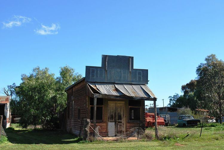
Daysdale is a locality in the central south part of the Riverina region of the Australian state of New South Wales. The locality is about 618 kilometres (384 mi) south west of the state capital Sydney and 340 kilometres (210 mi) north of Melbourne. At the 2006 census, Daysdale had a population of 193.
Map of Daysdale NSW 2646, Australia
Daysdale Post Office opened on 15 February 1876 and closed in 1993.
References
Daysdale Wikipedia(Text) CC BY-SA