
District Dayr Hafir Area 5.7 km² Local time Saturday 6:13 PM | Subdistrict Dayr Hafir Elevation 342 m Population 35,409 (2013) | |
 | ||
Occupation Islamic State of Iraq and the Levant Weather 13°C, Wind W at 14 km/h, 67% Humidity | ||
Dayr Hafir (Arabic: دير حافر / ALA-LC: Dayr Ḥāfir) is a Syrian town in the Aleppo Governorate, 50 kilometres (31 miles) east of Aleppo on the Aleppo-Raqqa highway, 15 kilometres (9.3 miles) to the north of Sabkhat al-Jabbul. It is the regional centre of Dayr Hafir District. In the 2004 official census, the town of Dayr Hafir had a population of 18,948. The town is home to an archeological site dating back to the 9th millennium BC.
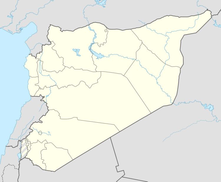
Map of Dayr Hafir, Syria
Dayr Hafir is still a rural community in its majority.
References
Dayr Hafir Wikipedia(Text) CC BY-SA